ICESat 2: Ice, Cloud, and Land Elevation Satellite 2 (ICESat-2)
Launch Date:
September 2018
WEBSITE:
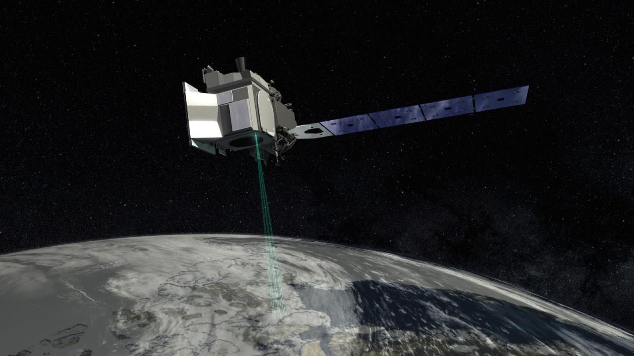
The Ice, Cloud, and Land Elevation Satellite-2, or ICESat-2, measures the height of a changing Earth, one laser pulse at a time, 10,000 laser pulses a second. Launched September 15, 2018, ICESat-2 carries a photon-counting laser altimeter that allows scientists to measure the elevation of ice sheets, glaciers, sea ice and more - all in unprecedented detail.
Key Staff
- Support Scientist: Stephen Holland
- Receiver Algorithms Lead: Jan Mcgarry
- Senior Support Scientist: Scott Luthcke
- Calibration Team Member: Philip Dabney
- Sr. Test Systems Engineer: Henock Legesse
- Programmer: Stephen Holland
- Project Scientist: Thomas Neumann
- Deputy Project Scientist: Nathan Kurtz
- Deputy Project Scientist: Denis Felikson
- Instrument Scientist: Anthony Martino